

The Kettle that Washes Itself
Canajoharie sits along the Mohawk River in central New York, a village shaped by the creek that runs through its center. The creek is home to the feature that gave the community its name, a smooth and perfectly rounded basin carved into the bedrock where water spins in a constant circular motion. The Mohawk called it Ga-na-jo-hí-e, meaning “the kettle that washes itself.”
The village is part of Montgomery County and is about an hour west of Albany and just east of the Cooperstown region, anchoring nearby communities such as Fort Plain, Palatine Bridge, and Little Falls. Canajoharie’s position in the Mohawk Valley made it a natural crossroads where travel and trade converged. Sitting on the south bank of the Mohawk River, the main east-west corridor through upstate New York, it became a point where Indigenous paths, colonial routes, and turnpikes all passed through the same narrow stretch of valley. This location made the village a natural waypoint and an early center of commerce for anyone moving between the interior of the state and the Hudson River corridor.
A Strategic Waypoint
Canajoharie’s history is closely tied to the Mohawk people, who lived throughout the Mohawk Valley long before Europeans arrived. The village stood near Upper Castle, one of the Mohawk’s major communities and an important center of leadership and diplomacy. This narrow stretch of valley served as a crucial corridor for travel and trade, and Mohawk and other Haudenosaunee travelers moved through it regularly.
With European settlement, Canajoharie became a central part of colonial life in the Mohawk Valley. Settlers followed the same routes the Mohawk had used for generations, and the village grew into an important stop for trade, communication, and movement between the Hudson River region and the interior of New York.
In the nineteenth century, its importance expanded with the advent of the Erie Canal, which turned the Mohawk Valley into one of the busiest transportation and trade routes in the United States. The canal ran north of the village and connected Canajoharie to Albany, Buffalo, and the Great Lakes. The busy corridor brought new industries, travelers, and economic activity, and it tied the community to the steady flow of goods and people moving across Upstate New York. Its geography and its position at a crossroads of the state continued to shape its identity, keeping it at the center of movement, exchange, and growth in the valley.
Downtown Canajoharie Today
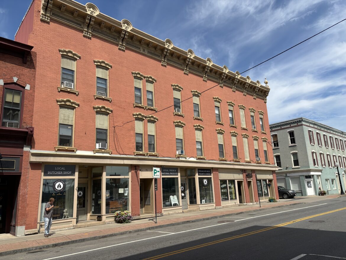
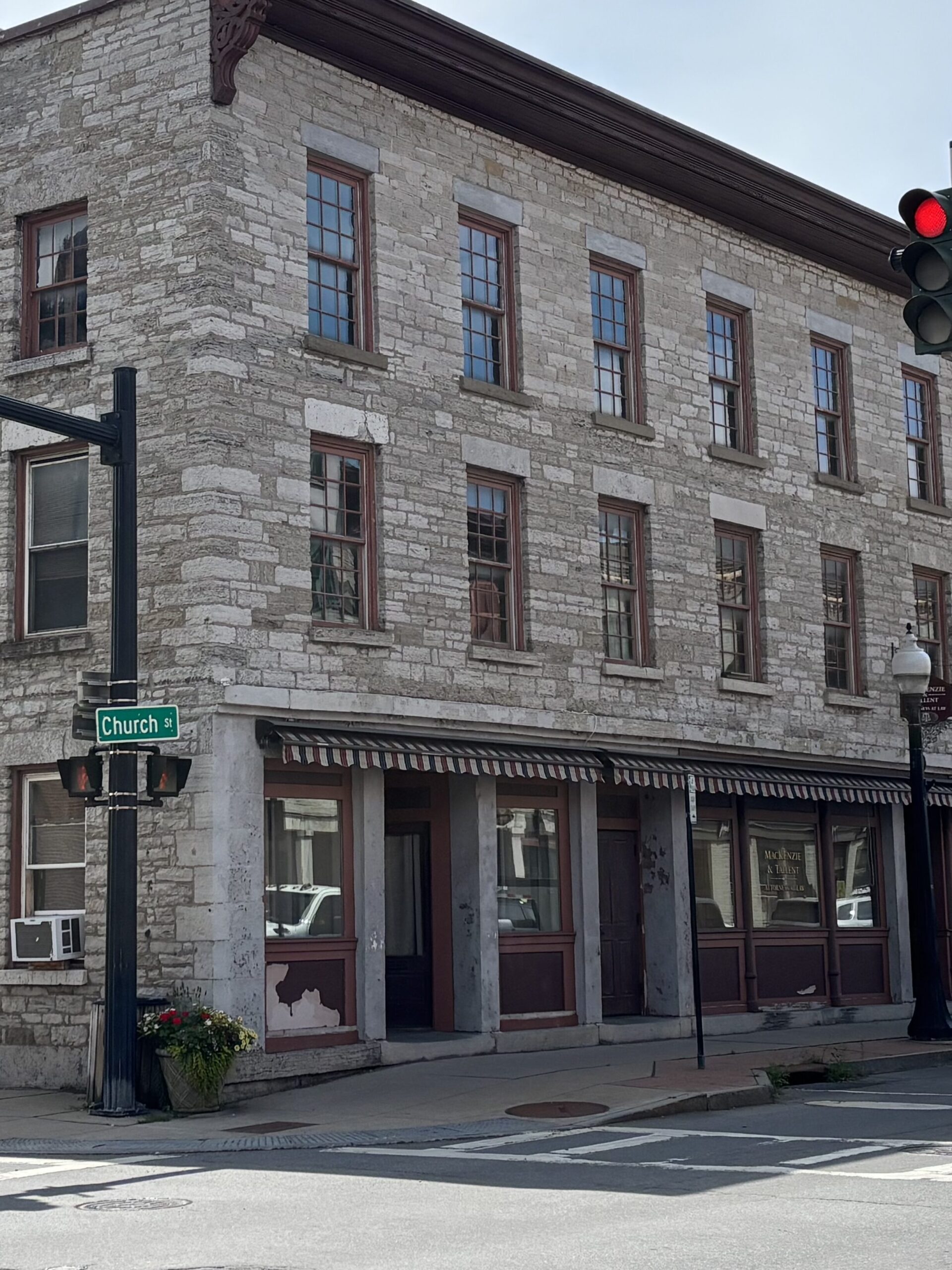
It follows that Canajoharie’s downtown is the result of more than a century of busy agricultural and industrial life. It’s a history you can feel as soon as you step onto Main Street. Brick storefronts, tall windows, and decorative cornices line the road, sitting shoulder‑to‑shoulder with former manufacturing sites that hint at the village’s long relationship with industry. It’s a place where the built environment still reflects what once powered the community.
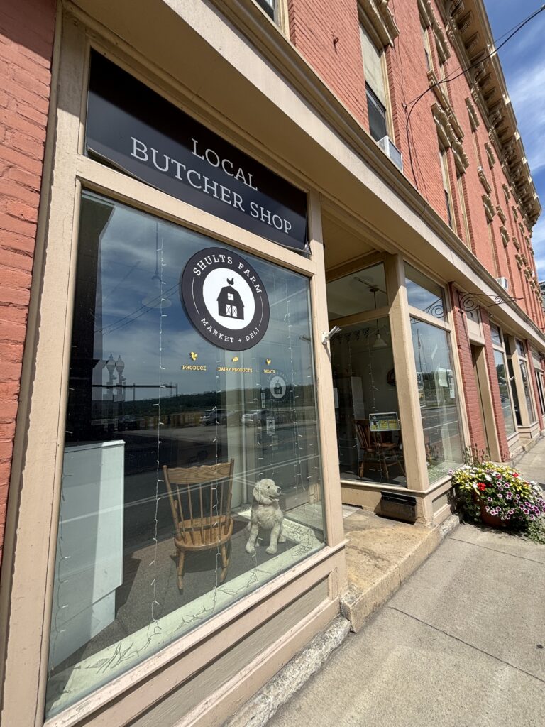
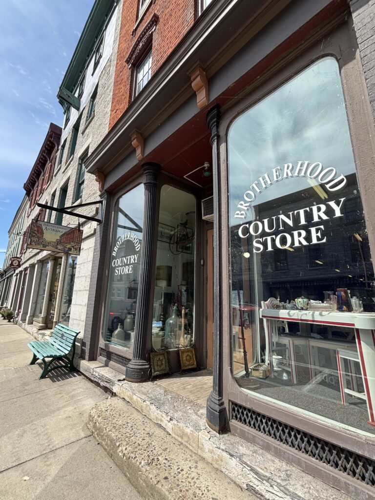
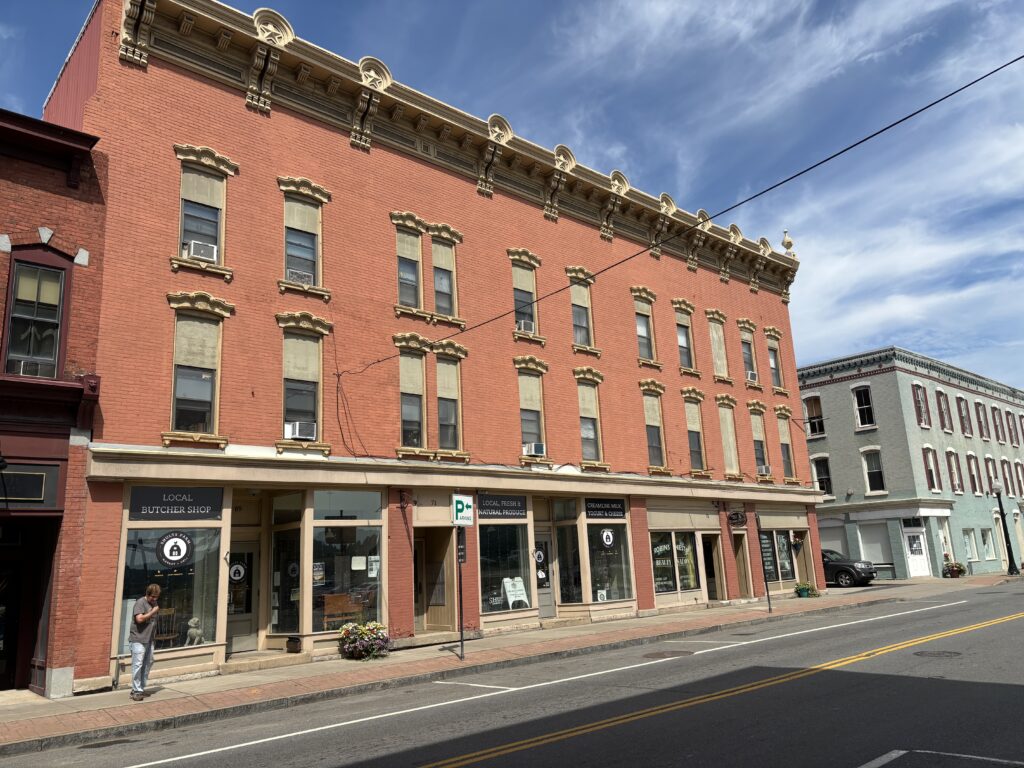
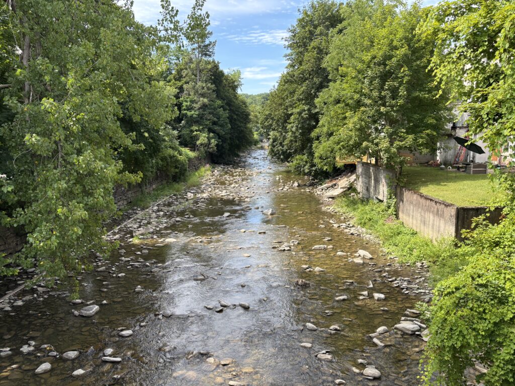
Canajoharie is defined by its Indigenous roots, canal‑era past, and the limestone gorge that anchors a historic landscape.
Photos by Thom Hanford
Beech-Nut powered Canajoharie for much of the twentieth century, and its presence shaped daily life in the village. The baby food and candy manufacturer provided steady employment, supported local businesses, and influenced civic growth. The company operated in Canajoharie for 118 years, beginning with its origins as the Imperial Packing Company and continuing until manufacturing moved out of the village in 2010. Demolition of the former Beech-Nut buildings began in 2018 and finished in 2024, when the last west side structure came down. Its closure marked the end of a defining chapter in the story of Canajoharie.
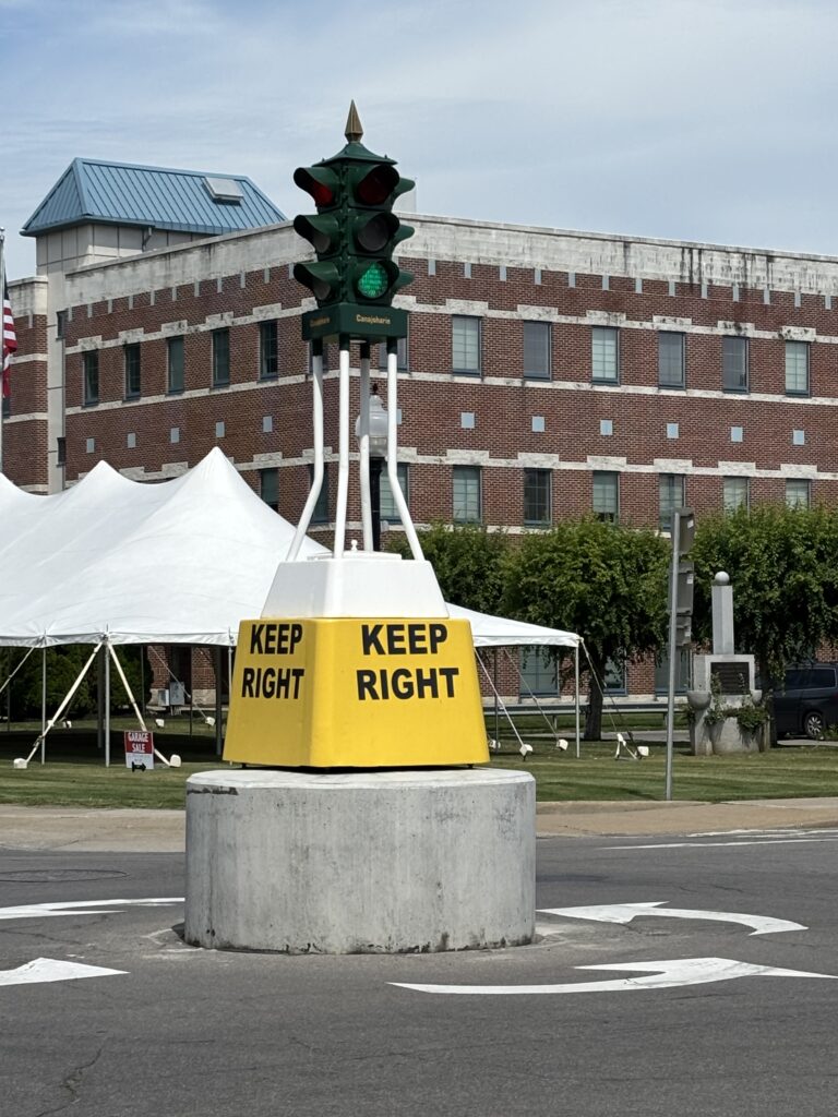
At the center of town, the historic “Keep Right” traffic light is one of those small details Canajoharie still celebrates. It’s modest and easy to miss, but it has become a familiar landmark. You see it in local artwork, souvenirs, and publications, a simple piece of infrastructure that has become part of the village’s identity by lasting through the years.
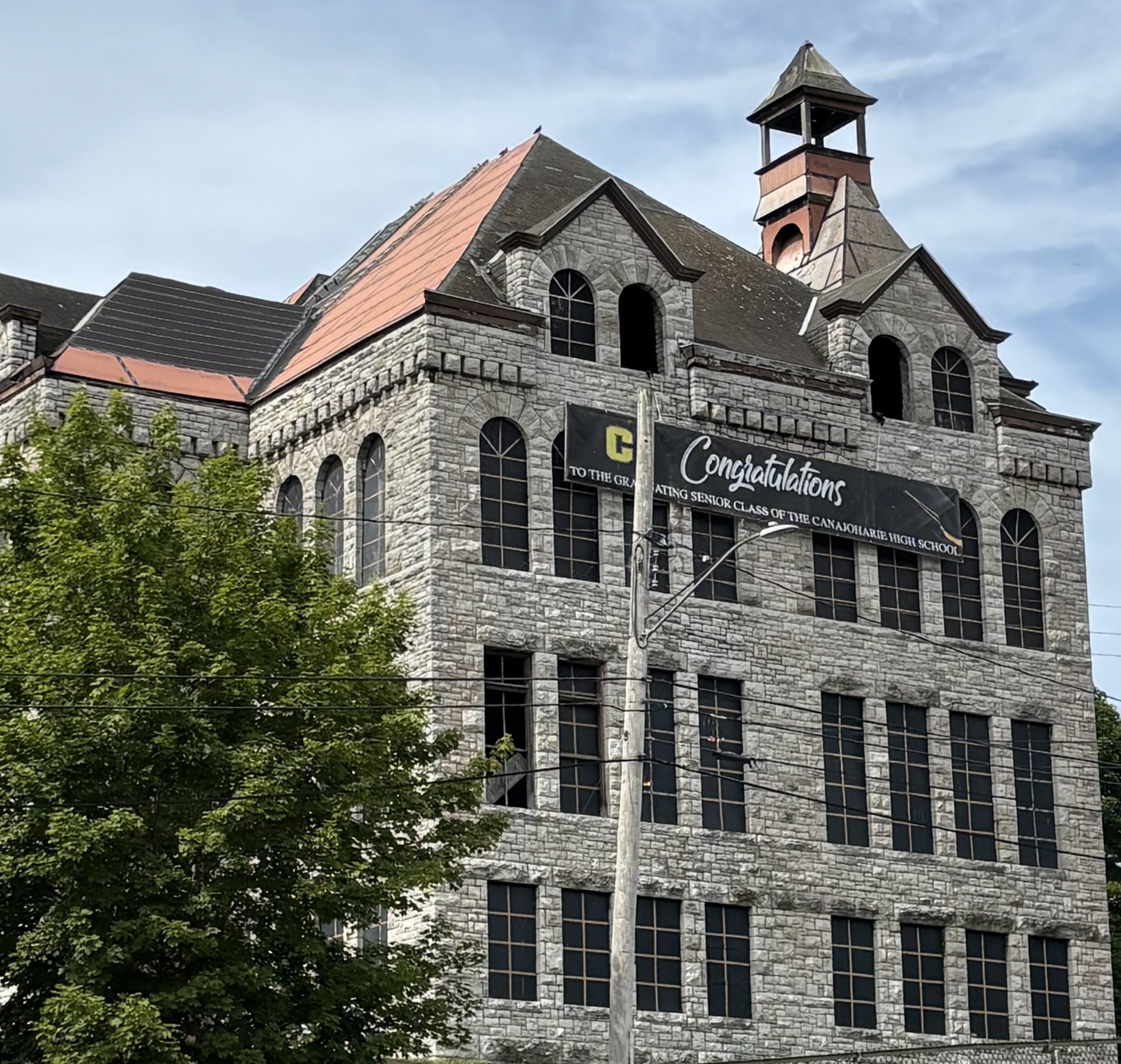
Nearby, the former East Hill School adds another reminder of the village’s busier years. Once the school district’s main campus, the building sits between residential streets and the commercial core, a placement that made it a natural connector. Its size alone point to a time when classrooms were full and the village had more residents working and learning in the town.
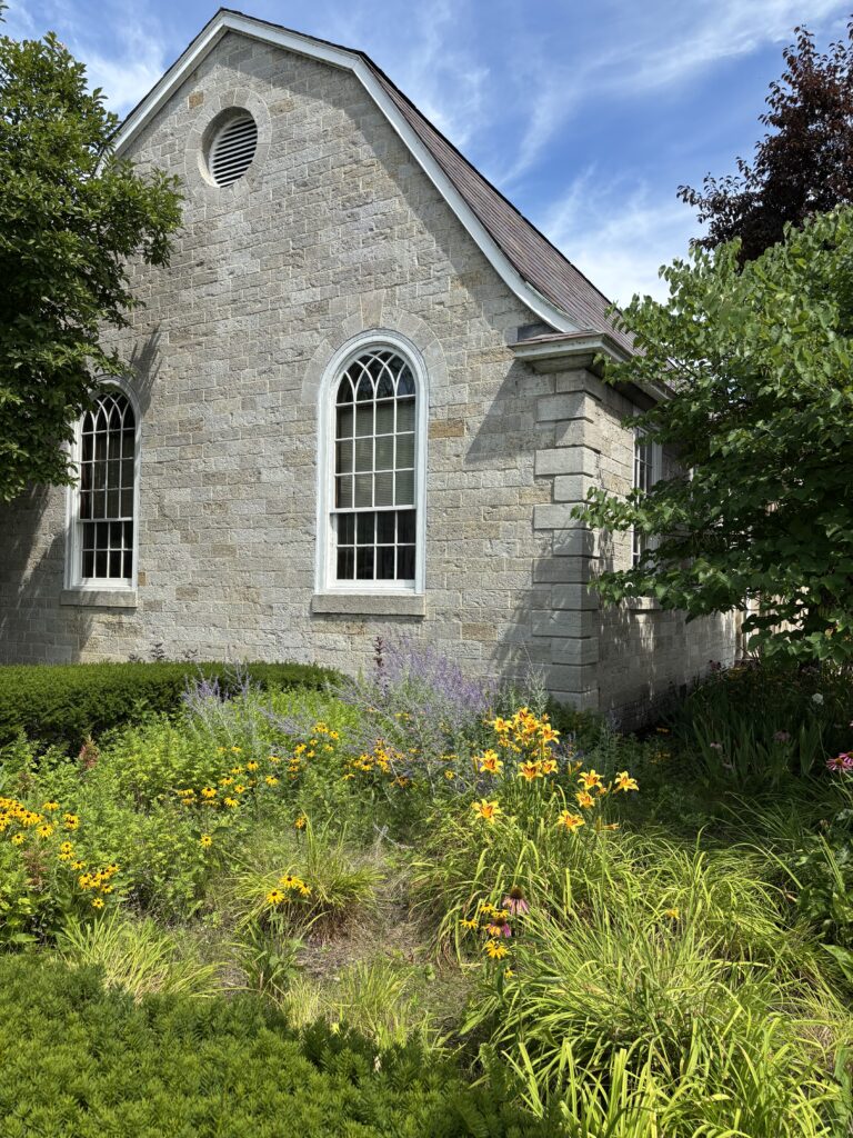
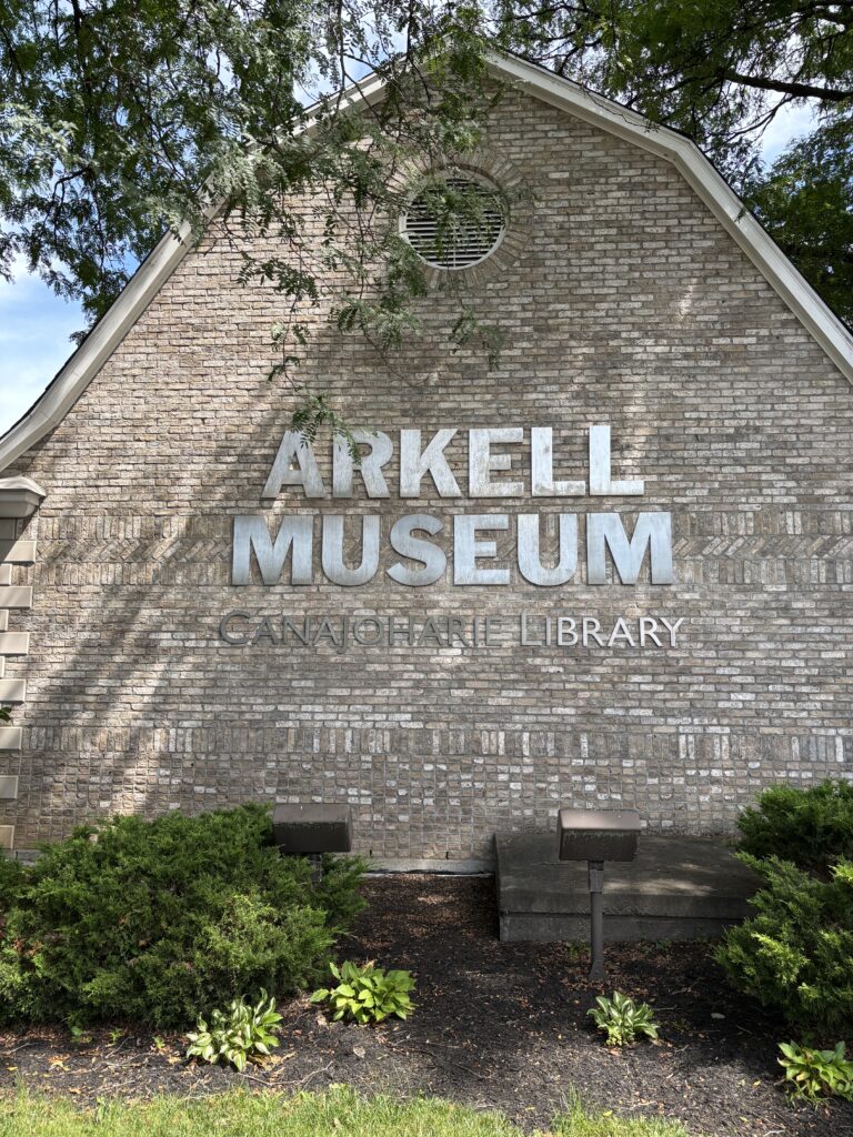
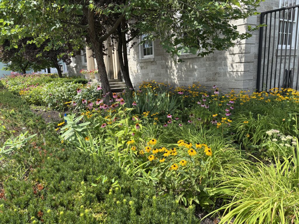
Culturally, the Arkell Museum anchors the village with a mix of art and local history, much of it tied to Beech Nut and the Arkell family. The museum sits beside the 1925 Canajoharie Public Library and its 1929 memorial garden, forming a central civic gathering place for the village.
Recreationally, Riverfront Park offers a change of pace with open space, river views, and a boat launch to the Mohawk River. Trailheads for the Erie Canalway Trail and Empire State Trail sit just steps from the village center, linking walkers, cyclists, and hikers to a major regional route that threads through the Mohawk Valley.